Services
Discover Our Difference

Revolutionize Your Inspections with Advanced Drone Technology
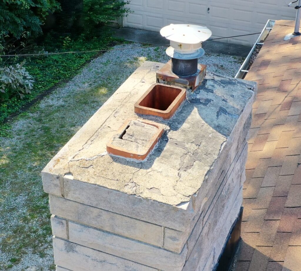
Unlock the full potential of your projects with drone inspection services. By integrating state-of-the-art drone technology, we provide unparalleled precision and comprehensive insights into your buildings, sites, and infrastructures. Our drones capture high-resolution images and detailed 3D models, allowing for thorough analysis and timely identification of potential issues before they become costly problems. This method significantly enhances safety by reducing the need for manual inspections in hard-to-reach or hazardous areas.

Elevate Your Planning and Analysis with Advanced Drone Mapping
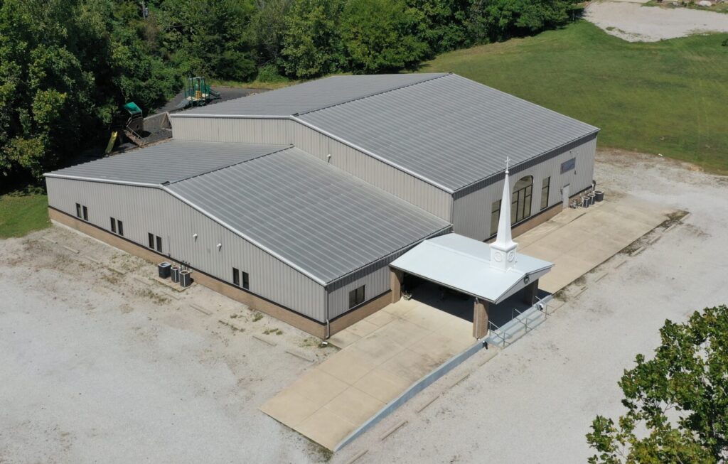
Experience the future of site analysis and project planning with cutting-edge drone mapping services. Our drones are equipped to generate detailed 2D and 3D maps that offer not just visuals, but actionable data. These high-resolution maps provide comprehensive topographical information that aids in precise planning, allowing for accurate distance, area, and volume measurements. Whether you’re planning a construction project, conducting environmental assessments, or managing real estate properties, our maps help identify potential issues, plan utilities, and optimize layouts before physical work begins, saving you time and reducing costs. The 3D models are particularly valuable, offering a realistic view of the terrain and structures, which is essential for simulations, presentations, or stakeholder communications.