We focus on customer success through
value-driven services.

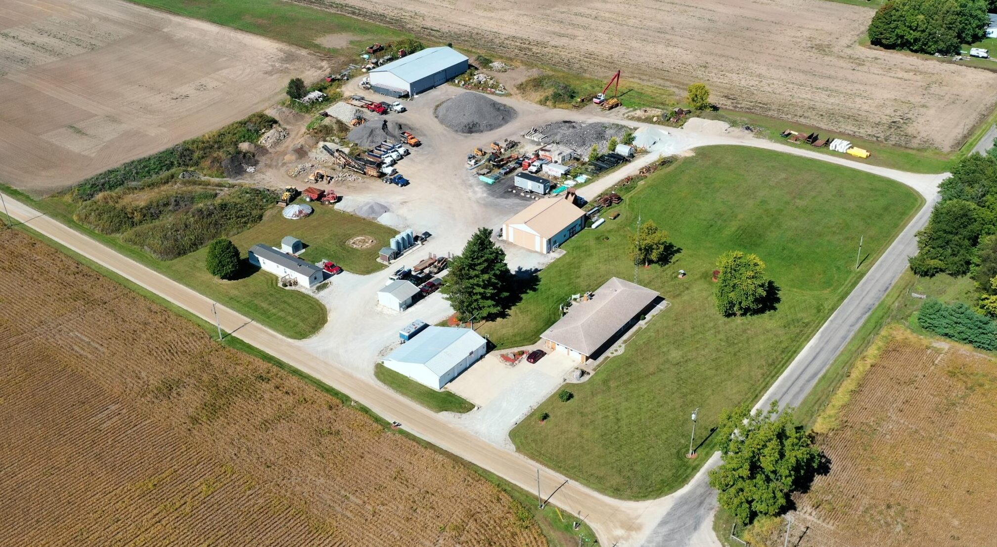
Site Capture
Provide highly accurate GCP files for .bim and other applications. File sharing options for each situation. Planning, Capture, Process and Presentation.

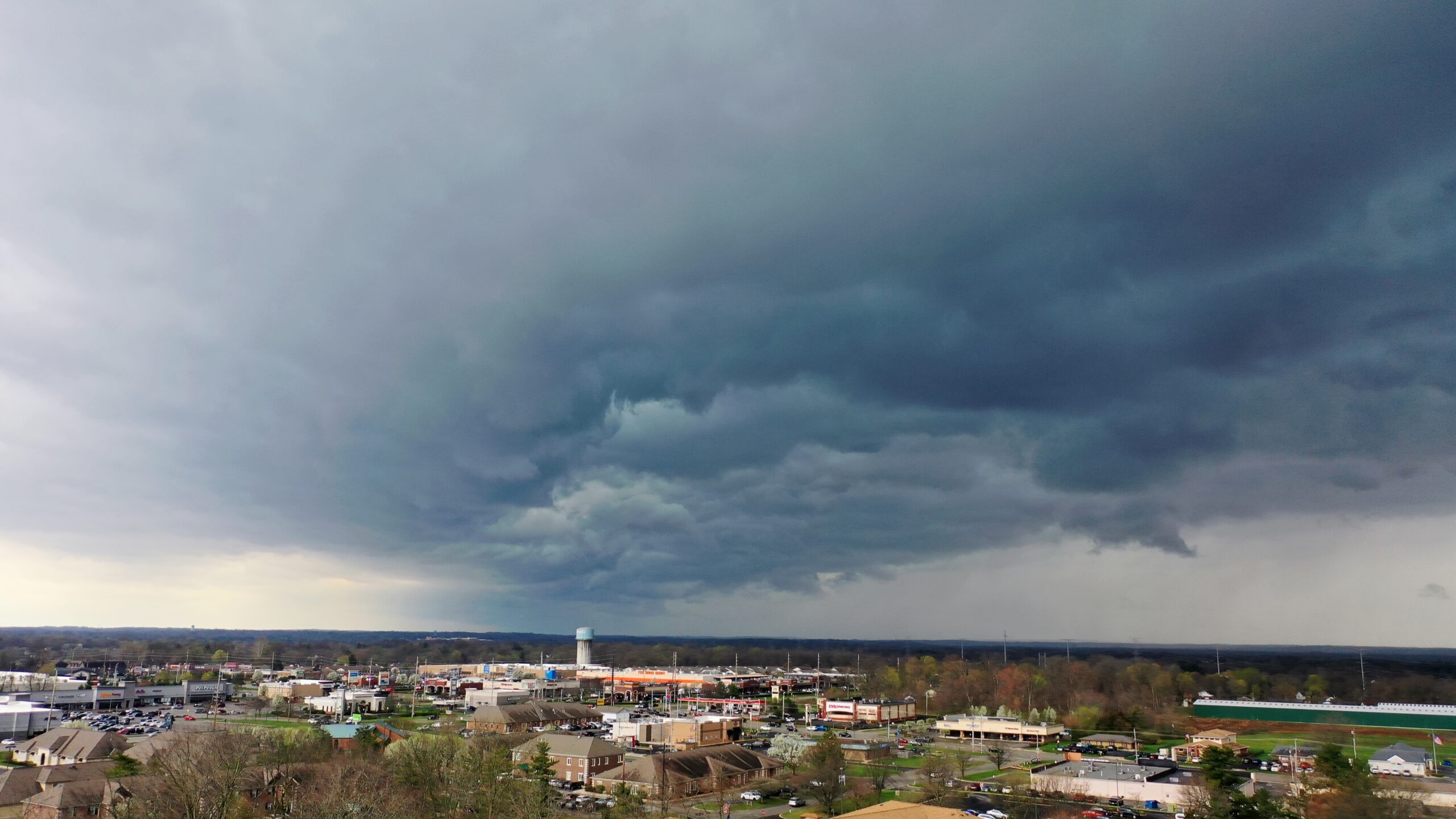
Ground Scans
Provides a complete record of the site and building activities.

Data & Image Processing
Managing the file preparation and processing of customer capture data.
Deliver data/information sooner?
Lack internal Resources?
Software Costs?

Thermal Capture
Thermal imaging for search & rescue and industrial needs.
Plan, Capture, Process, and Present the data you need. Bring VDC to your Project.
Background and Experience
-15 years of PM experience
-Indiana GIS Member
-15 years Construction Industry
-Commercial Photographer
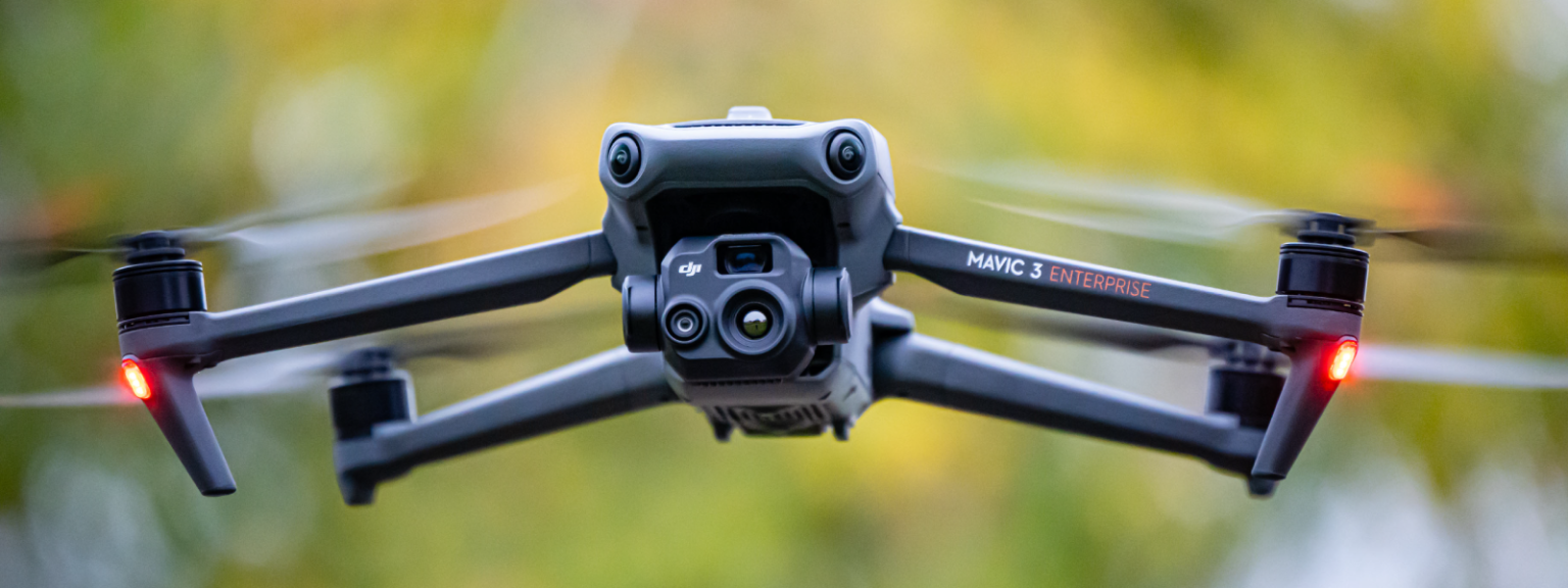
-Part 107 UAV License-FAA
-File management and processing
-OSHA Certified