
What are the benefits of Site Capture?
Site capture provides an accurate, data-driven view of a construction or facility site, helping teams plan, measure, and manage with confidence. Using high-resolution drone imagery and advanced photogrammetry, detailed maps are created to show real-world dimensions, contours, and progress across every phase of a project.
For construction professionals, site mapping improves accuracy in earthwork calculations, layout verification, and project tracking. It enables teams to compare as-built conditions with design plans, identify potential conflicts early, and document each stage of development with precise measurements.
For facility managers, current site maps serve as a vital record for property assessments, asset management, and future expansion planning. Aerial mapping also provides visual documentation for maintenance scheduling, compliance verification, and insurance reporting.
By combining aerial data with ground-level insights, site mapping provides a comprehensive perspective, reducing costly rework, enhancing collaboration among stakeholders, and ensuring every decision is backed by reliable, up-to-date information.
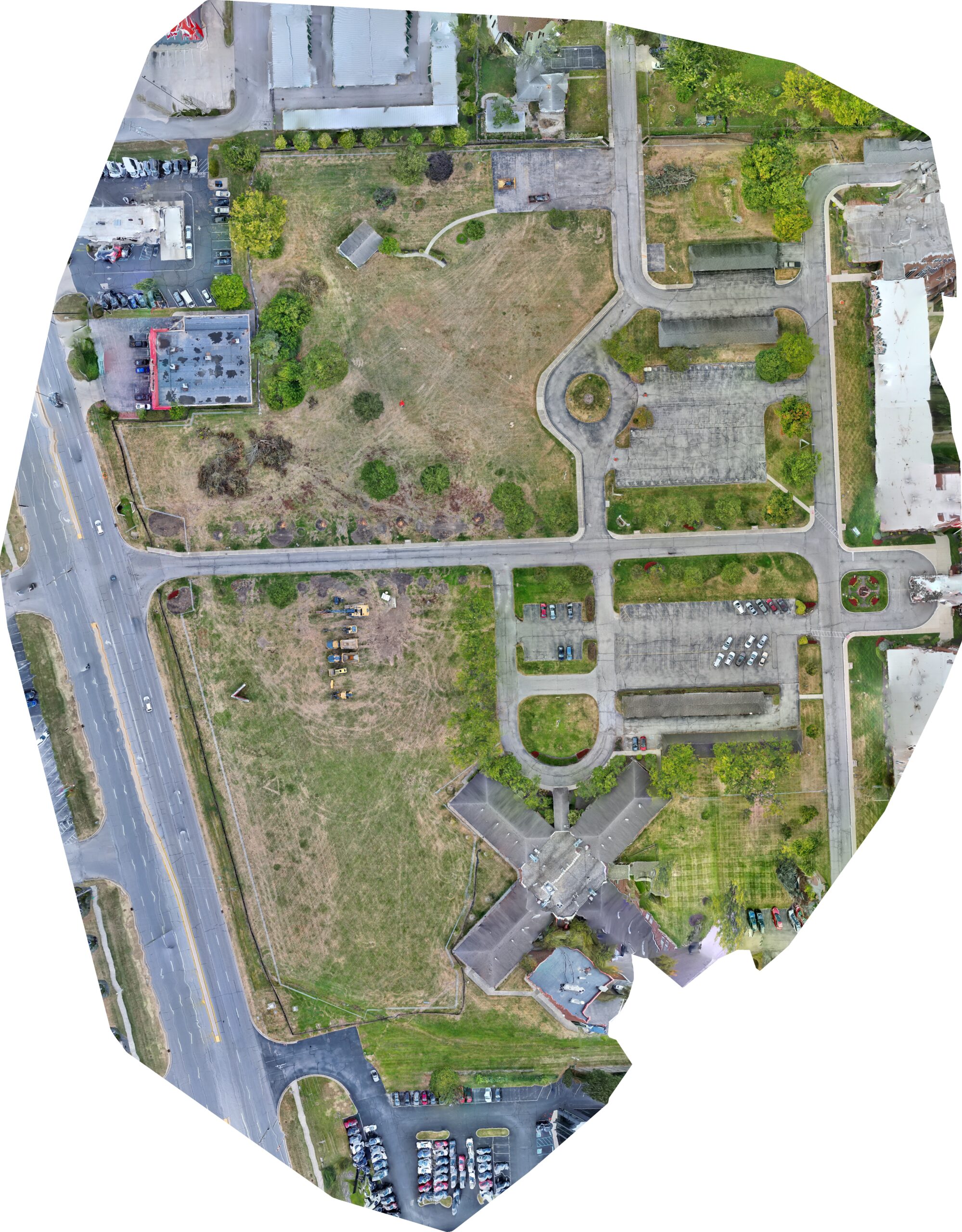
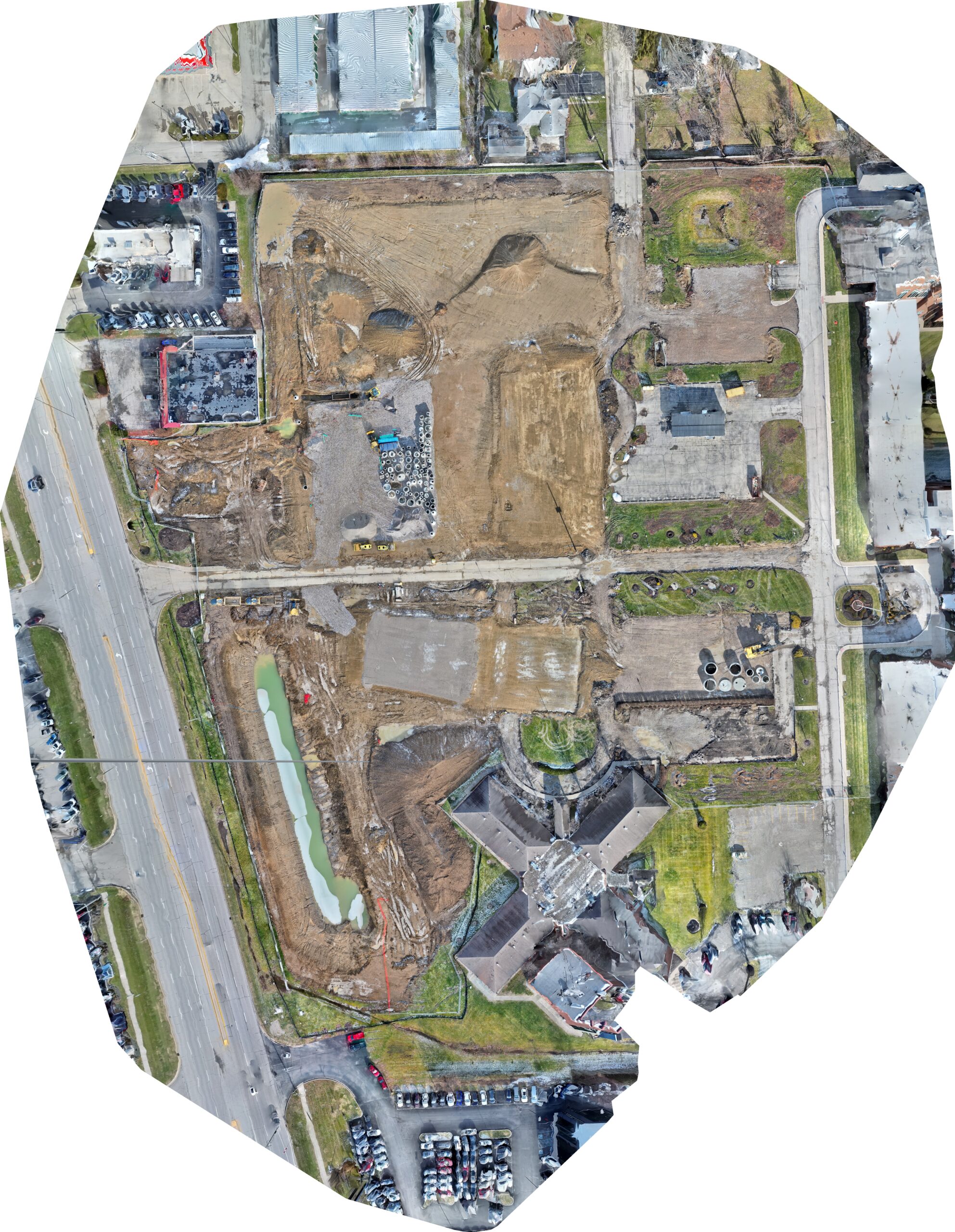
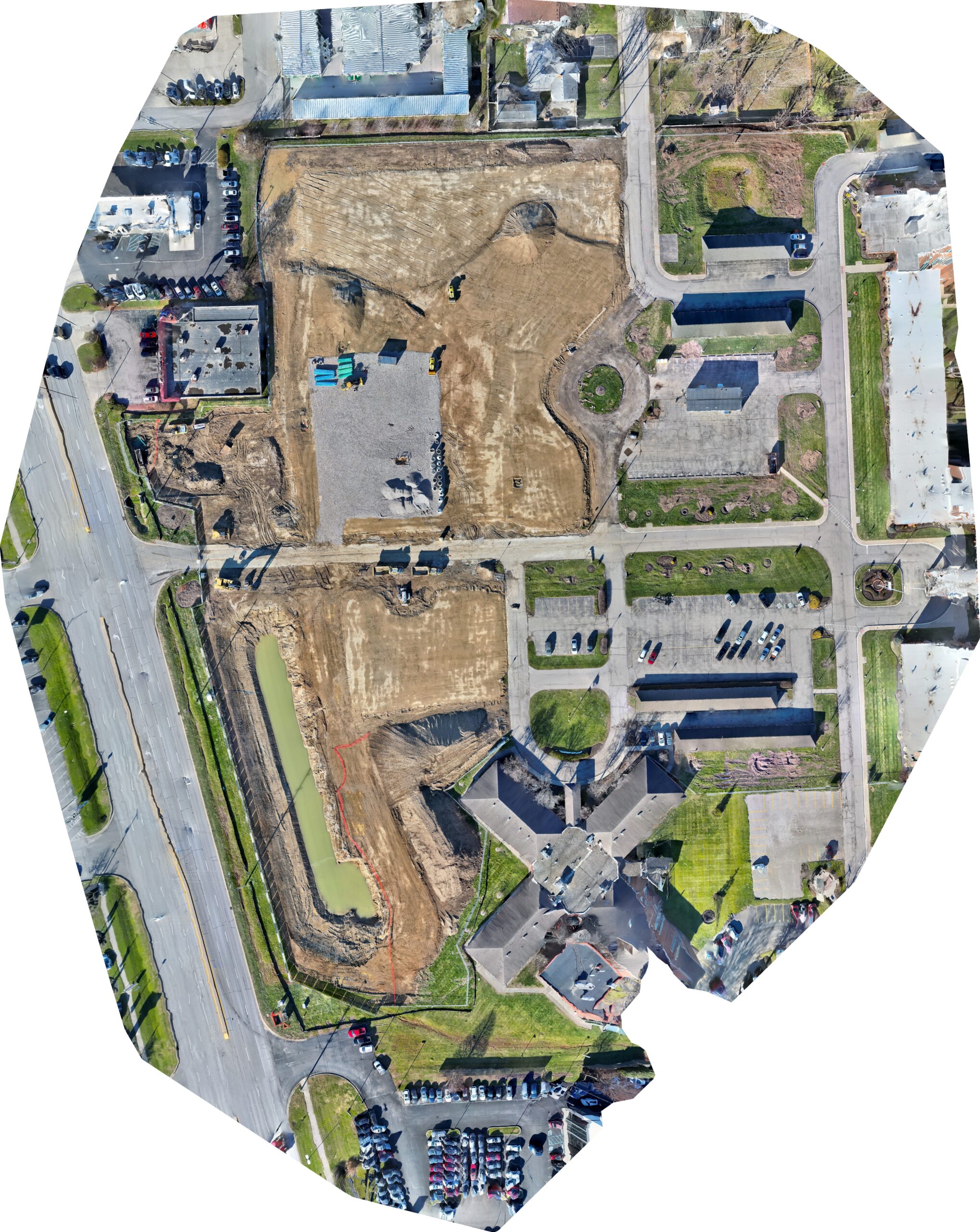
Deliverable Examples


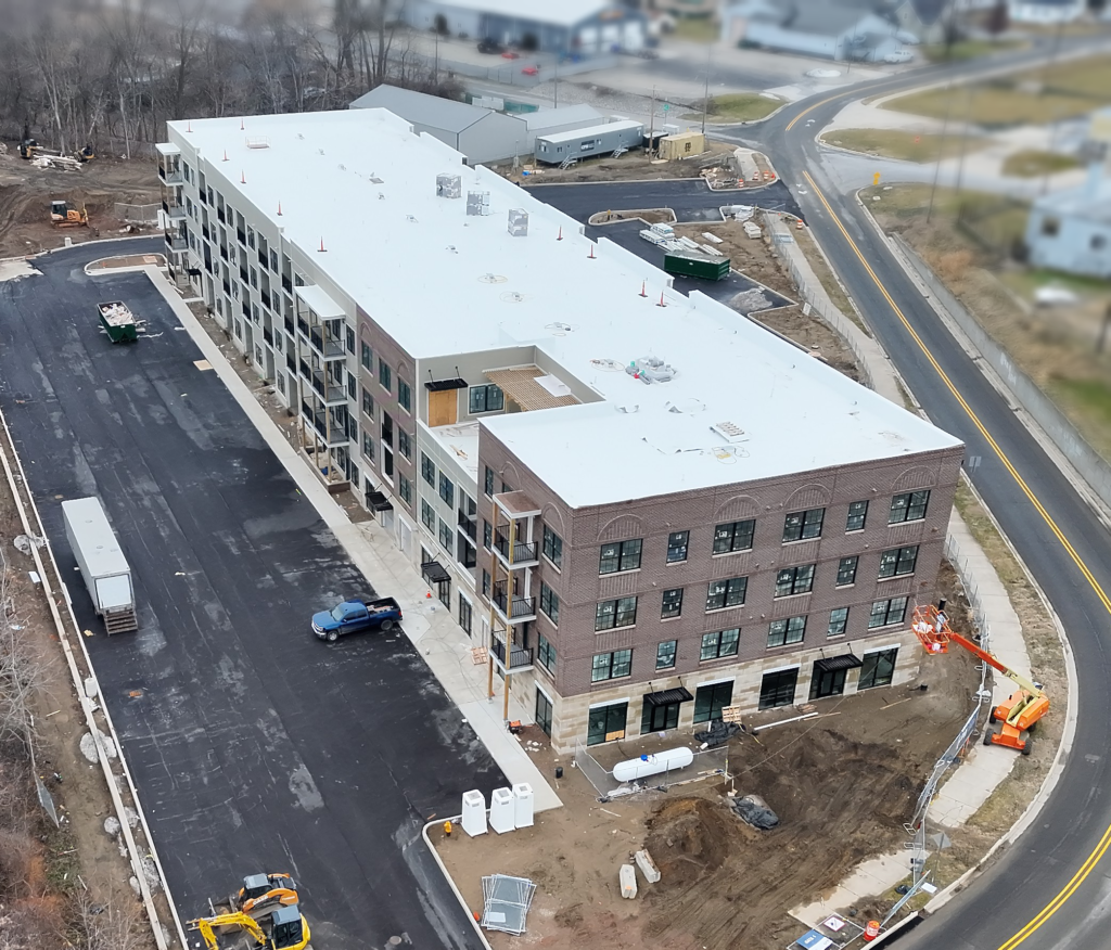
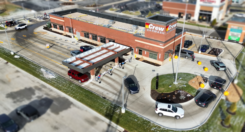

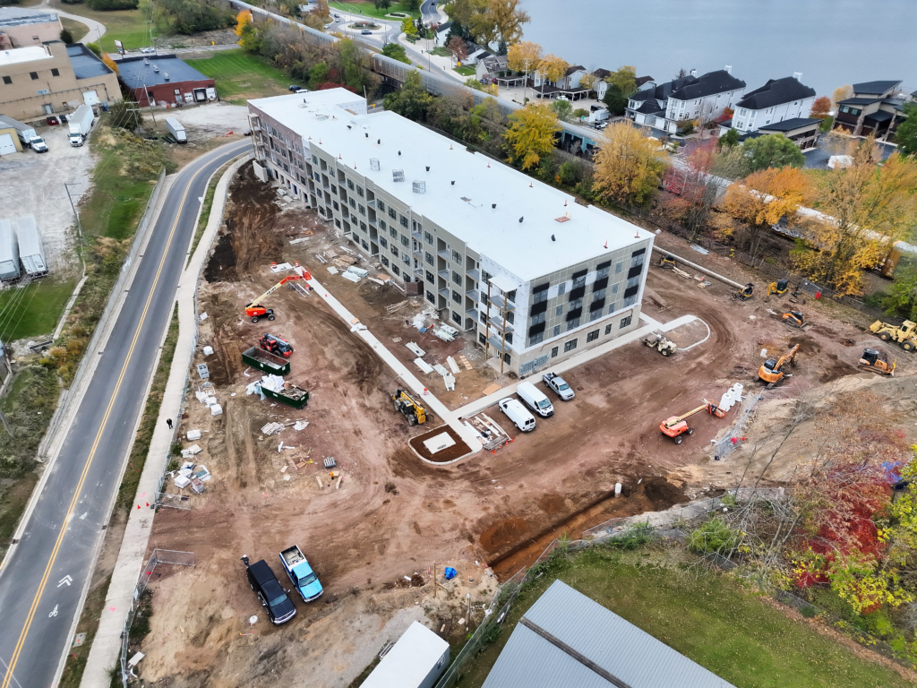
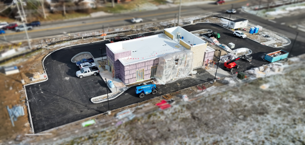
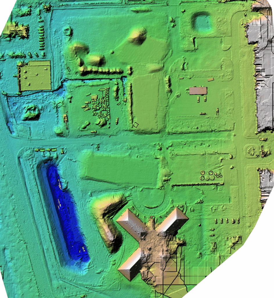
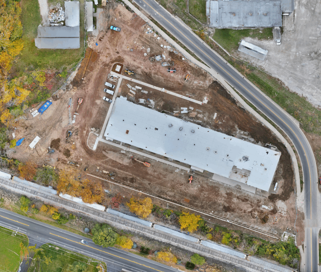

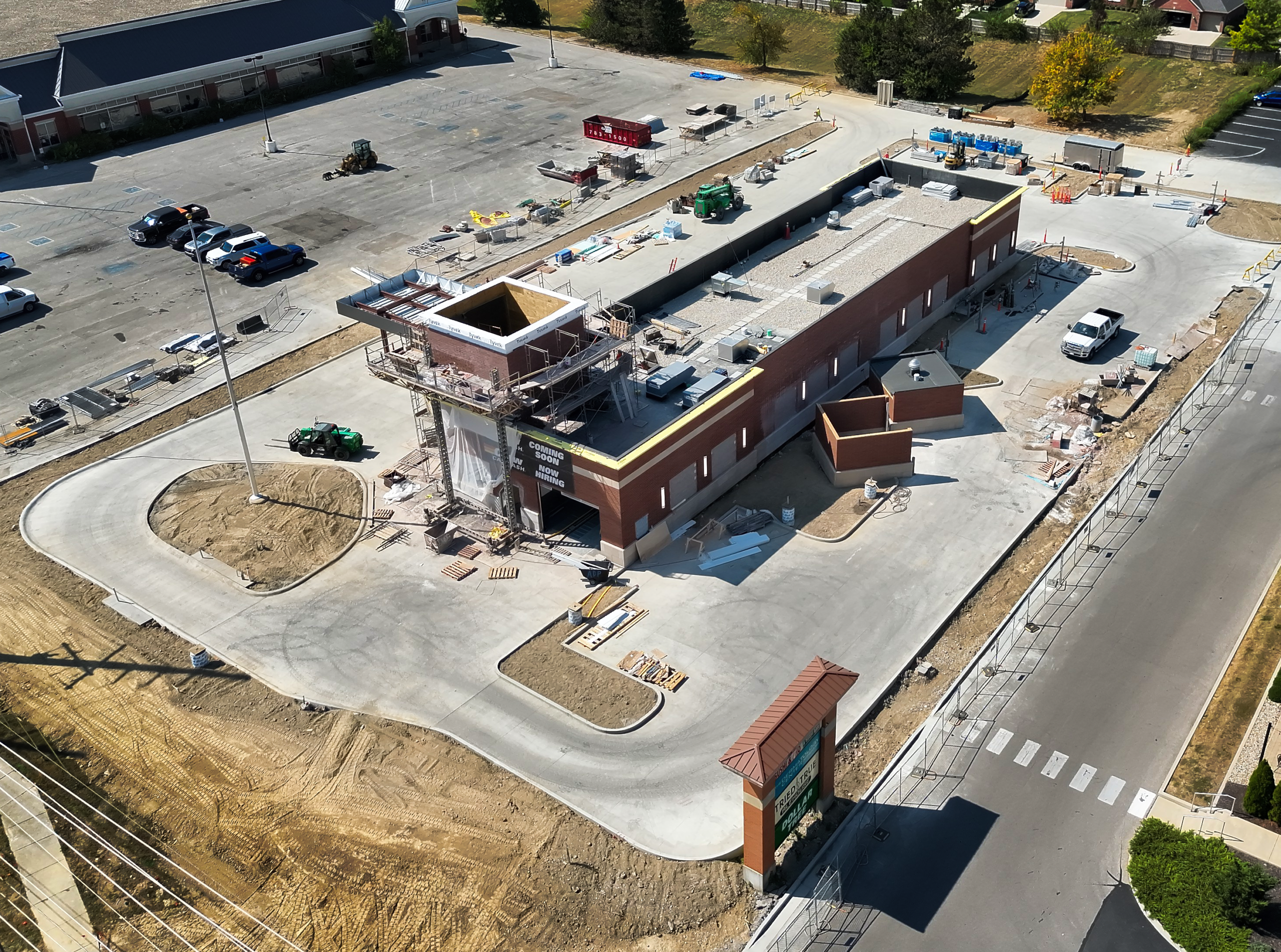
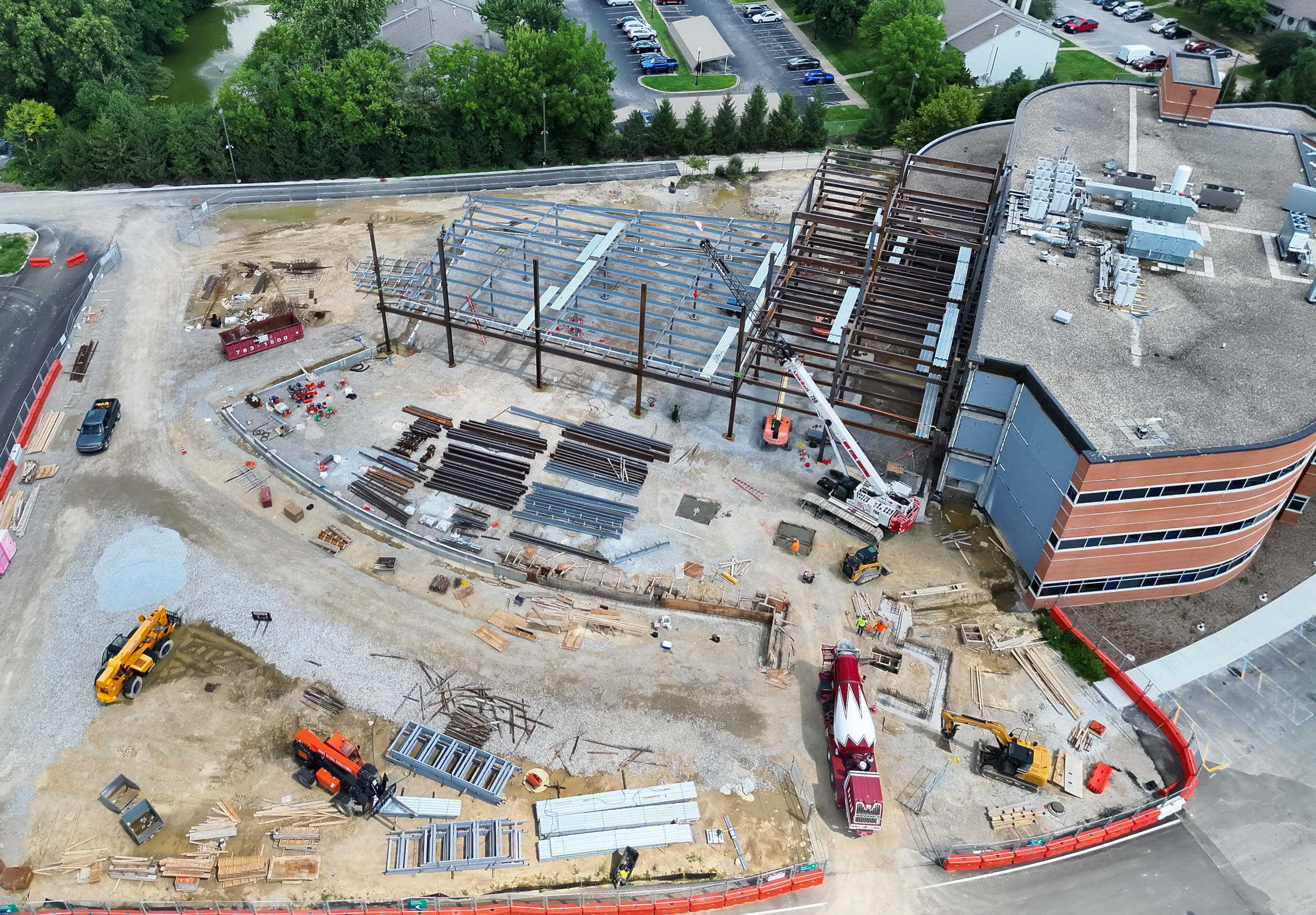


Current Site Image, Logo, and other Graphics
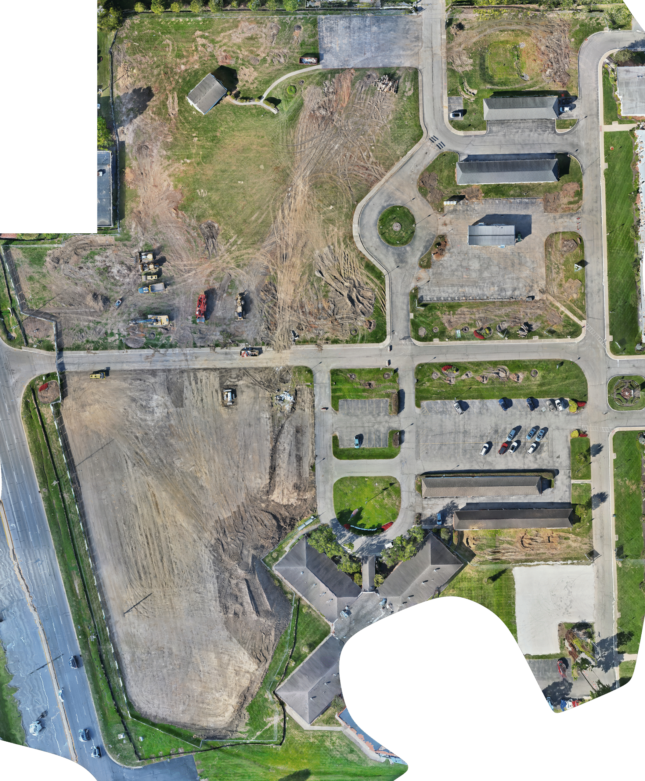
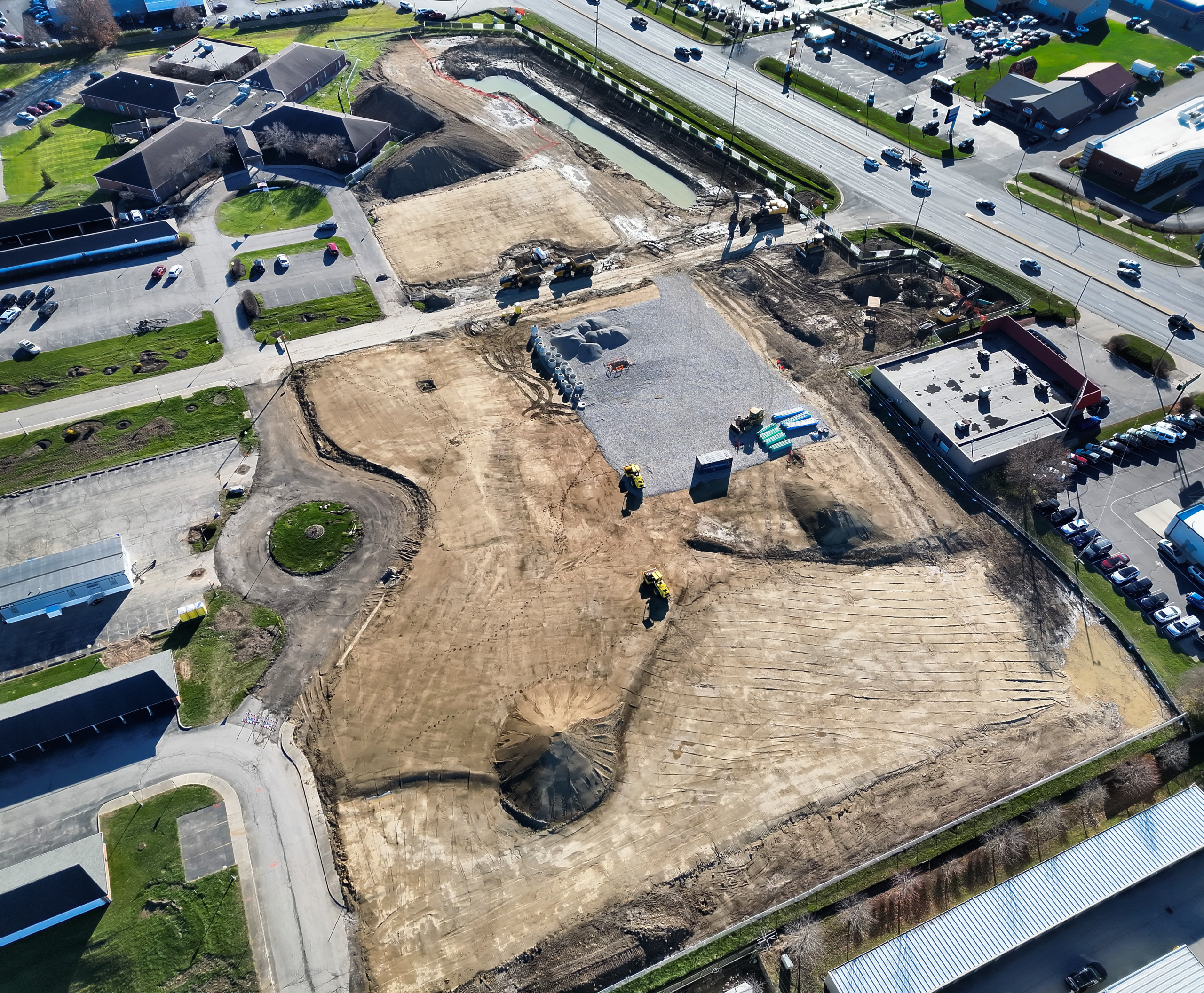
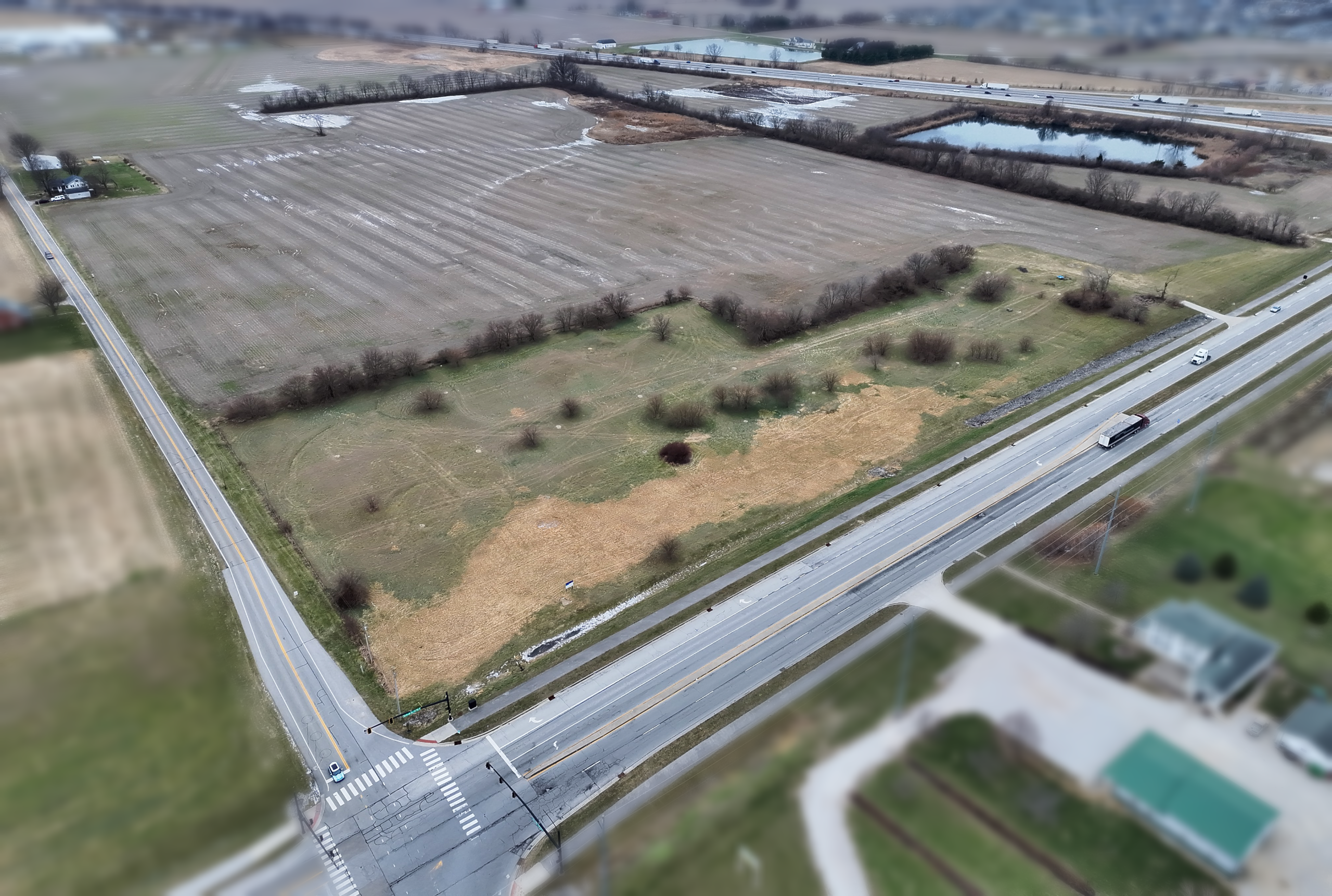
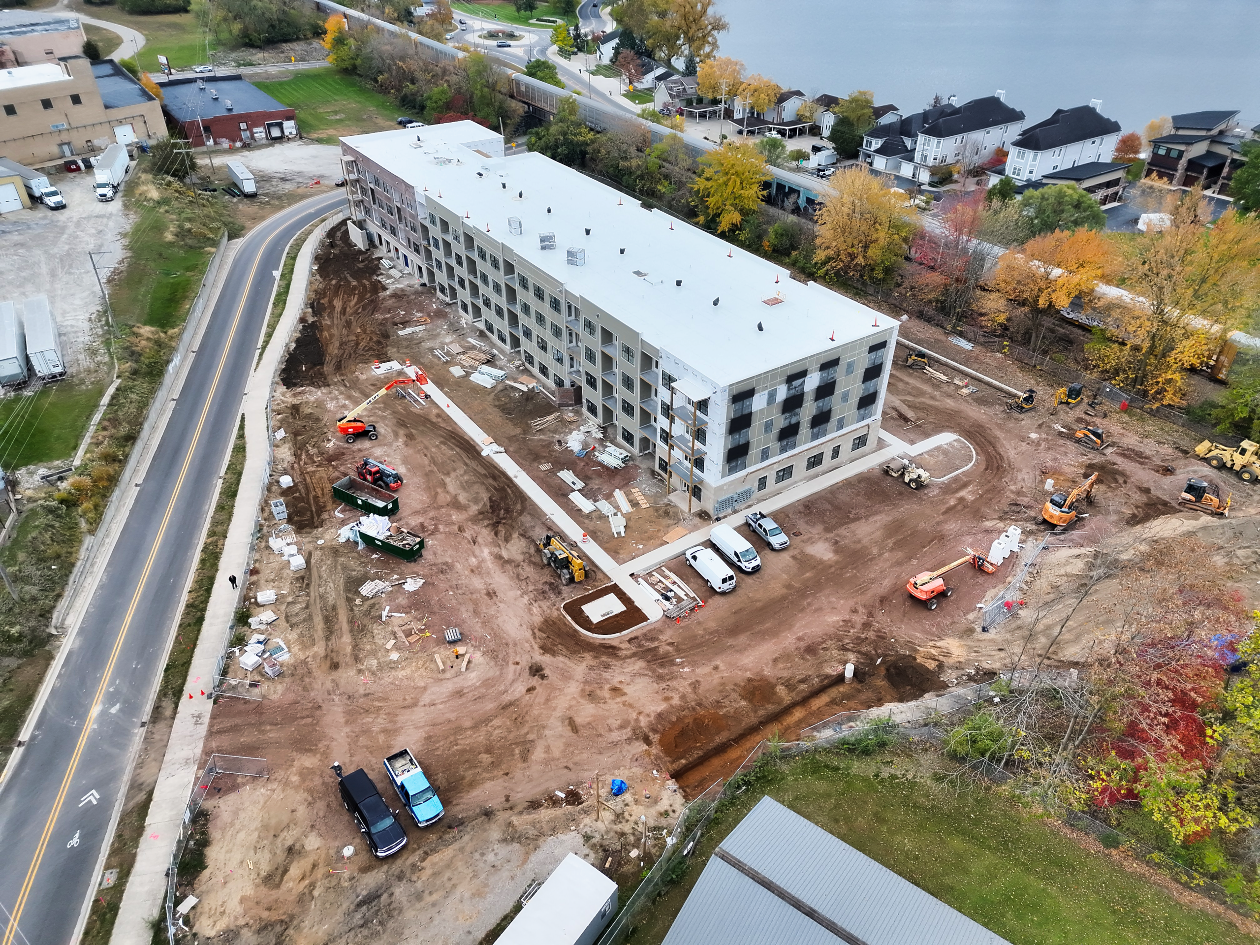
Before and After Images
Panorama

Site and other Downloadable Images.
Downloadable Videos